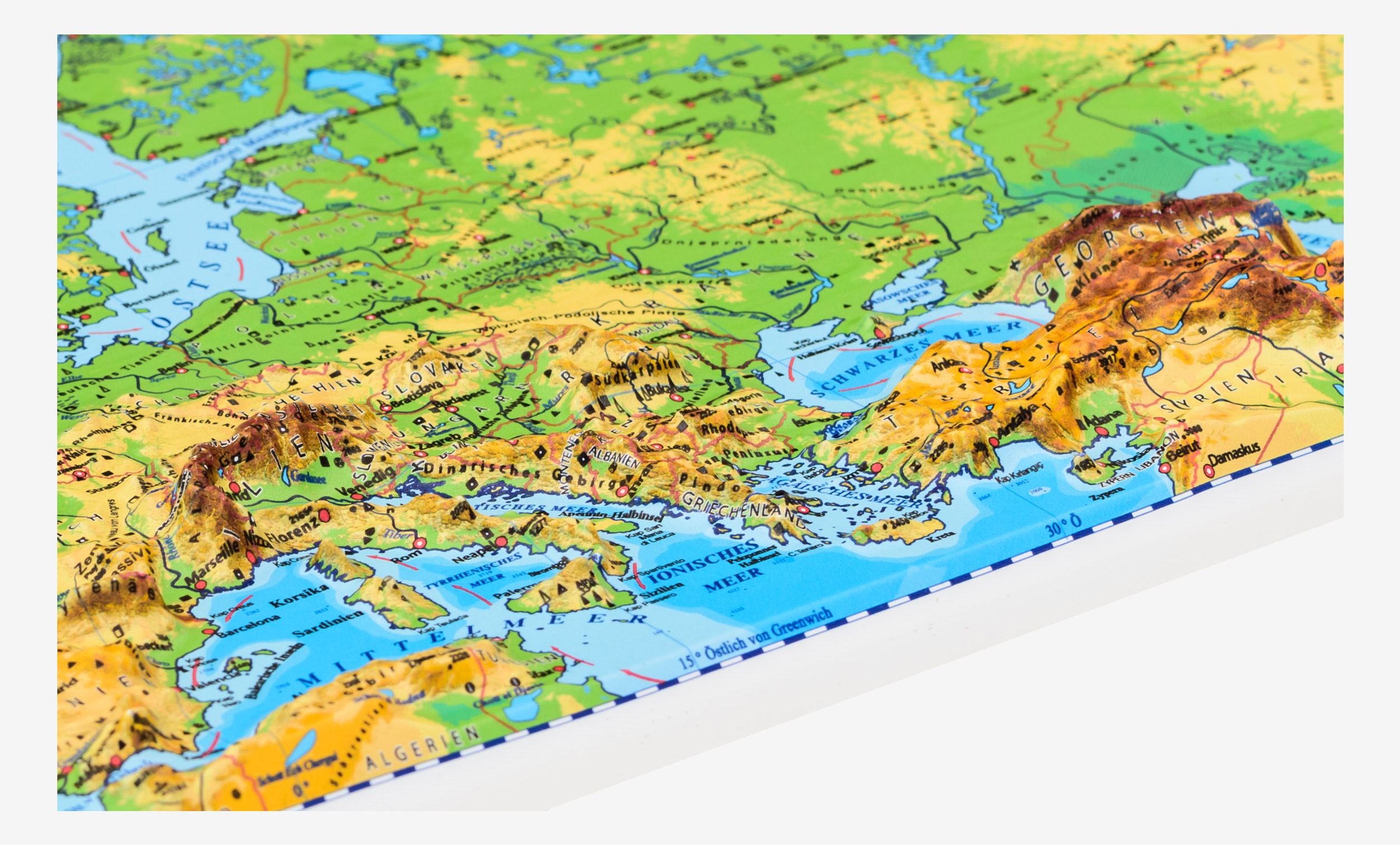
This map depicts the physical landscape of the European continent in raised relief, implemented in Mercator projection, where parallels and meridians are straight and perpendicular to each other. This product represents an excellent didactic tool for learning different types of landform. Raised relief maps are a new generation of maps that can serve as a superior visual reference for high school and university students. Due to their compact size they can be used on an individual basis. Moreover, they can become a perfect gift or a souvenir for avid travellers or geography lovers. Designed using the most advanced technology, vacuum-formed raised maps present a tactile representation of different geographic areas and precisely illustrate contours and elevations of the relief. Specifications: the map is made of PVC of 0.25 – 0.45 mm.
Recomended products
|
Subscribe to our newsletter for receive updates by email

|
Eurodidactica


")
")
")
")
")
")
")
")

")
")
 for Children")
")
")